
Real Estate Survey
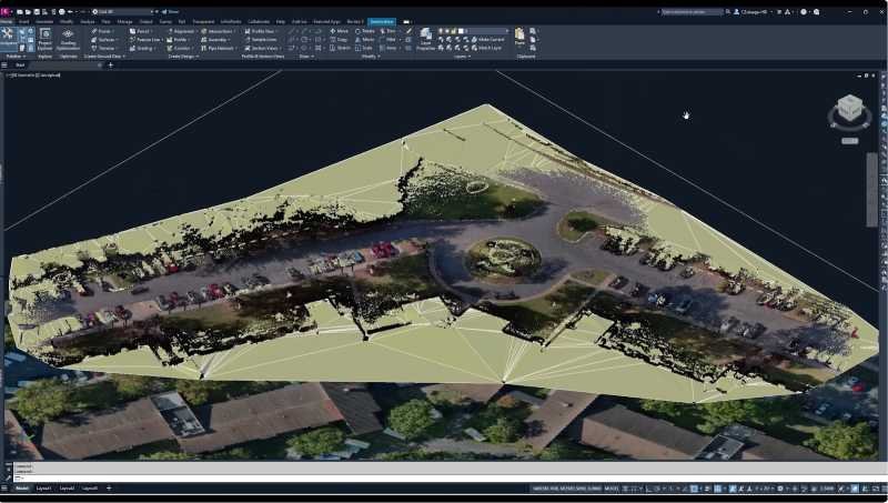
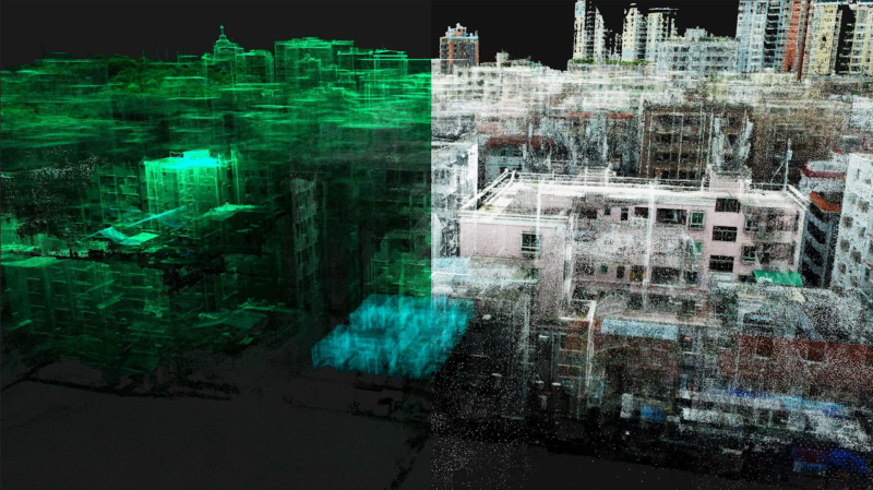
Quickly generate integrated indoor-outdoor 3D models, creating floor plans, elevations, and cross-sections to improve measurement efficiency.
Application Scenarios
Real Estate Measurement: Capture exact spatial dimensions in one scan. Eliminate remeasurements and disputes during transactions.
Property Transactions: Verify measurements instantly. Show clients accurate 3D property models on-site. Close deals faster with transparent, defensible data.
Property Management: Access structural information immediately. Plan renovations without revisits. Schedule maintenance with precise specifications.
Urban Planning & Construction:Supply decision-ready property data to planning departments. Accelerate approvals. Support evidence-based land use decisions with comprehensive digital twins.
Disaster Response: Assess damage within hours, not weeks. Document pre/post conditions accurately. Secure appropriate insurance payouts with indisputable measurements.
Challenges Addressed
Manual Inefficiency: Cut measurement and processing time on complex structures with large datasets.
Limited Accuracy: Replace error-prone manual measurements and documentation with consistent digital processing for superior accuracy.
Incomplete Data: Capture hidden structural elements impossible to document manually. Create complete digital twins revealing every measurement needed.
Environmental Limitations: Scan in poor lighting conditions without accuracy loss. Navigate multi-level structures with single-setup measurements.
The XGRIDS Advantage

Efficiency
Achieve 5 times faster data collection with a portable, single-operator system, even in complex environments.
Ease of Use
Capture real-time, true-color point clouds with "what you see is what you get" accuracy, powered by advanced Multi-SLAM for precise point cloud colorization.
Quick Data Processing
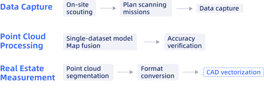
Efficient data processing through map fusion and concurrent dataset processing, yielding quick maps/profiles and easy AutoCAD integration via RCP export.
Actionable 3D Data
Integrate and reuse rich 3D models with clear textures and accurate real-world representation.
Hardware
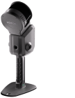
Lixel L Series
High-Precision 3D Scanner
Learn More >
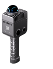
Lixel K Series
Compact 3D Scanner
Learn More >
Software

LixelStudio
Point Cloud Studio
Learn More >
Workflow
Case Studies
Lixel K1 + Emlid Reach RS2, 9-Minutes Site Survey with Sub-Inch Accuracy

Cadastral Surveying in No-Fly Zones with Handheld SLAM Scanner: Lixel L2 Pro
Real Estate Surveying and Mapping Case Study: How XGRIDS Revolutionizes Flo