
Why K1 Outperforms Traditional Methods
Tripod-based scanning requires days on-site, expensive specialists, and weeks of post-processing. Projects stall waiting for deliverables.
5+ Days→Few Hours
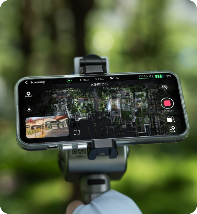
Real-time colored models eliminate post-processing delays
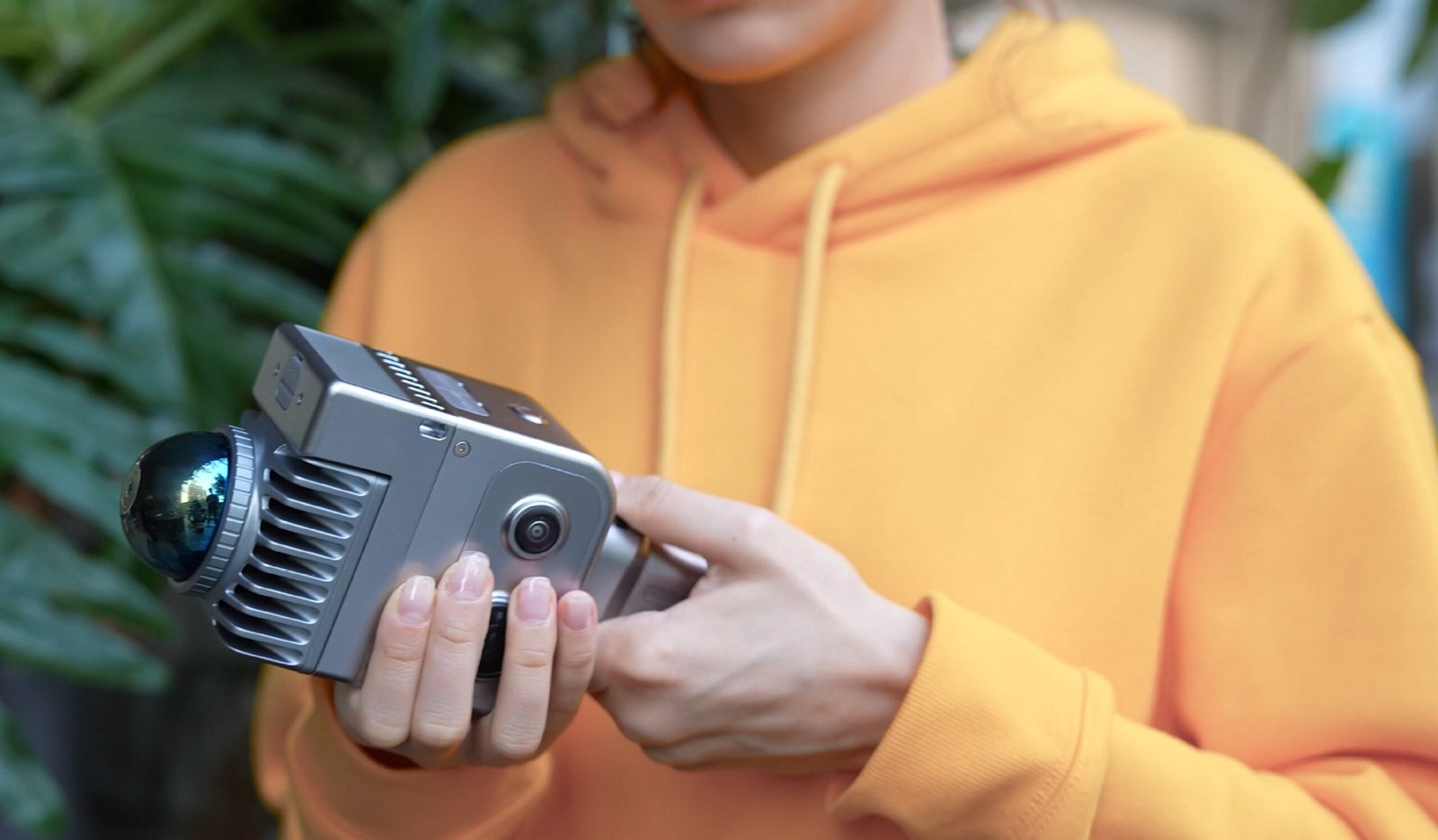
Heavy Setups→Walk
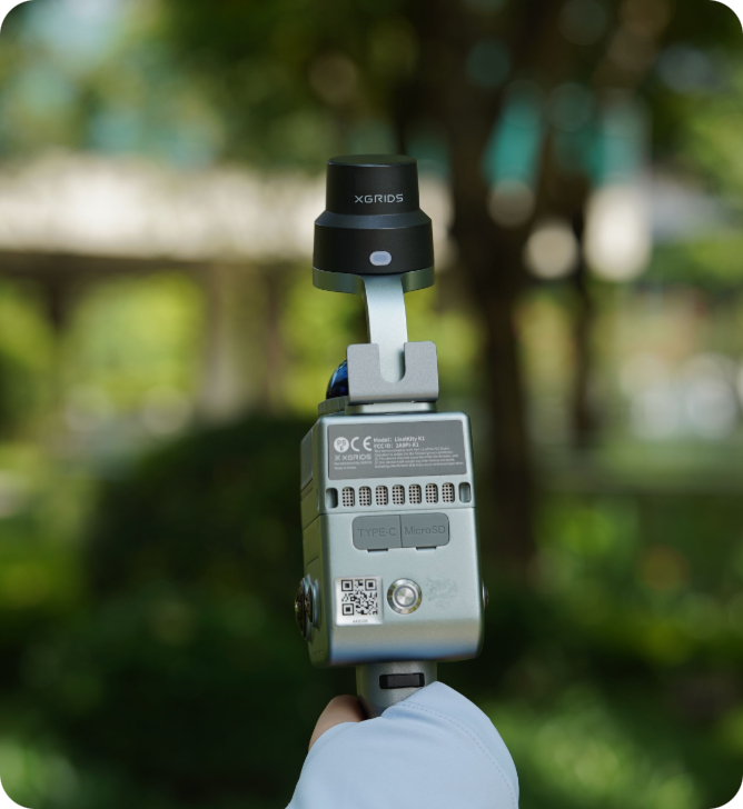
<1kg handheld operation, no tripods or specialists
Professional Results
±1.2cm accuracy at 1/3 the equipment cost
Instant Decisions
Review results on-site, eliminate return visits
Specs that Devlier on the Promise
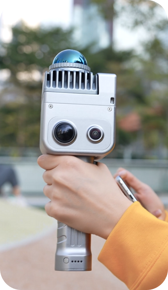
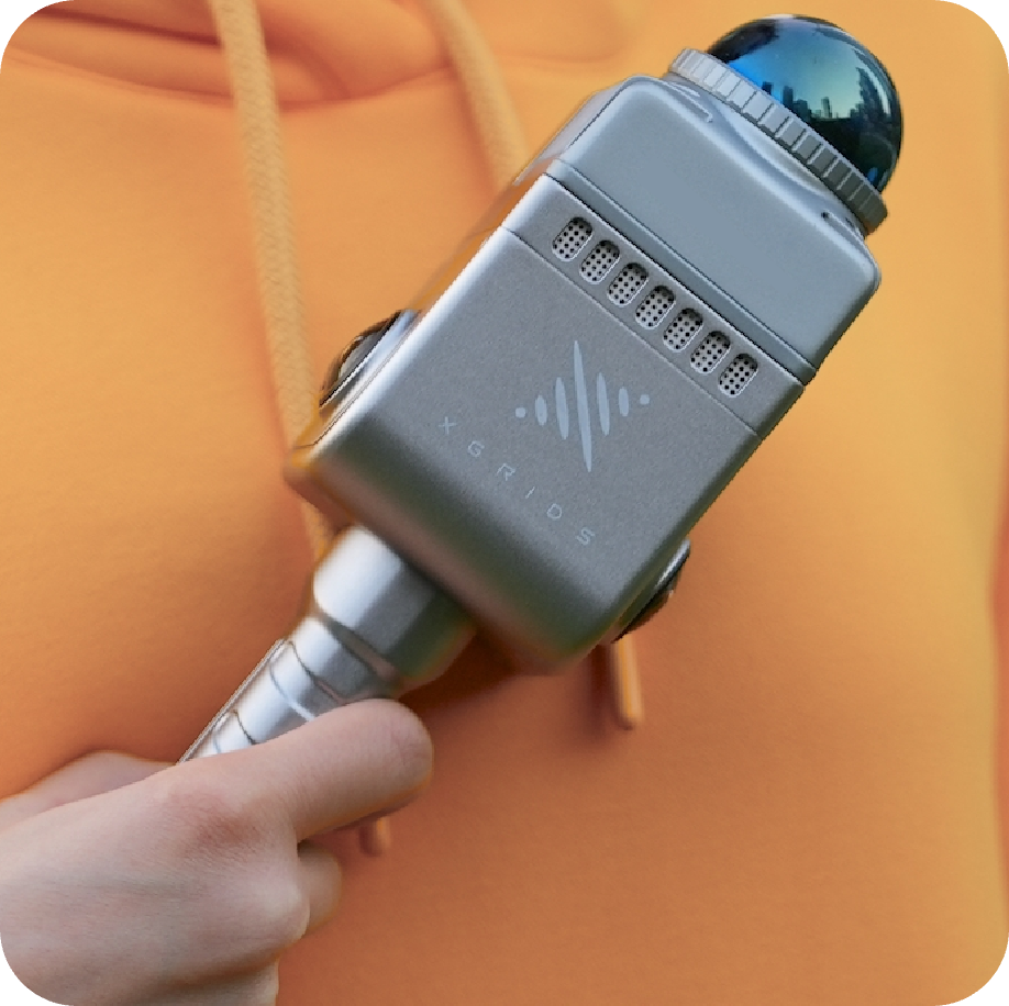
Multi-SLAM algorithms ensure reliable capture in challenging environments. 48MP panoramic cameras capture rich color data while 360° LiDAR provides comprehensive spatial coverage at 200,000 pt/s. IP54 rating handles real-world conditions.

±1.2cm Accuracy

200,000 points/sec

40m Range

1.5hr Battery

48MP Panoramic Cameras

<1kg Weight
Three Steps to Professional Results
Walk and capture with one-button operation. Use LixelGO - the companion mobile app for real-time scanner control, mission planning, and field monitoring.
Automatic real-time point cloud generation, or additional processing with LixelStudio or LixelCyberColor.
Export to CAD/BIM or publish interactive 3D models.
Specs that Devlier on the Promise
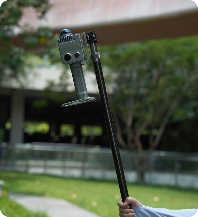
Extension Pole
RTK
Phone mount
Industries

Architecture & Construction: Interior documentation, as-built surveys, progress monitoring, BIM integration

Infrastructure & Resources: Volume calculation, mining surveys, facility documentation

Real Estate & Property: Property assessment, renovation planning, digital twin

Cultural Heritage: Artifact preservation, museum digitization, historical documentation