

Industries

Complete Pipeline
Seamless spatial data capture, processing, and visualization.

Unified Platform
Connect spatial data to industry software via APIs and SDKs.

Spatial Intelligence
Intelligent, precise spatial computing powered by Multi-SLAM and AI.

Industry Agnostic
Cross-industry compatible workflows for surveying, AEC, film, and more.

Shared Visuals
Collaborative 3D data sharing with AR/VR visualization and simulation.
Solutions by Industry

Topographic Survey

Tunnels & Utility Corridors

Stockpile Volume Calculation

Urban Underground Space

Forestry Management

Facade Measurement

Real Estate Survey

Reverse BIM Modeling

BIM Construction Progress Management
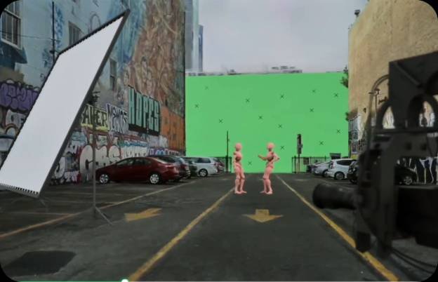
Location Scouting & Pre-Visualization

AR/VR

Facility Digital Twin

Drone/Robot Inspection

Smart Mining